World map of the most common last name in every country.
Easily navigate cities by bus, train, foot, and bike.
Map of US Embassies & Consulates, travel advisory levels.
Aerial movies from around the world.
Movement visualization of transit data.
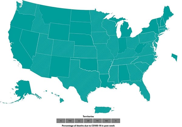
CDC U.S.-specific COVID-19 data tracker.
uMap lets you create maps with OpenStreetMap layers in a…
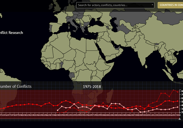
Data on organized violence and civil wars.
Map of all energy infrastructure and resources in the USA.
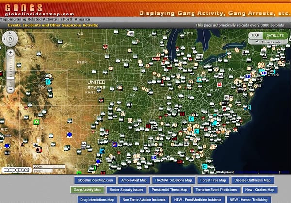
US gang activity map.
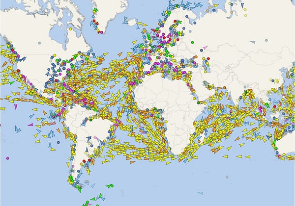
Real-time data on the position of vessels.

Vessels database.
Real time view of all transactions made on Bitcoin,…
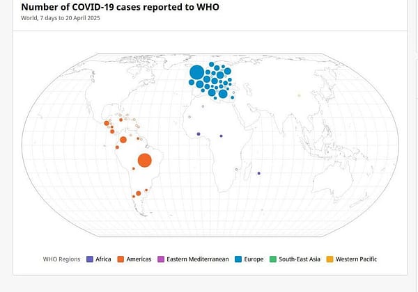
World Health Organization (WHO) COVID-19 Dashboard.
Multilingual open-content collaborative map.

Real-time global hunger tracking system.
Satellite view.

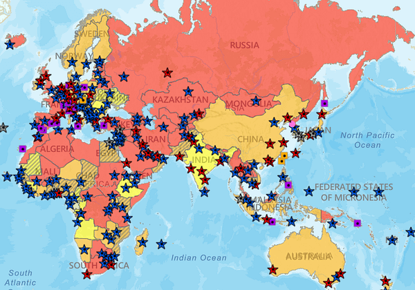
Visual sanctions entity database and map.

Maps, graphs, countries info, images.

IQ levels compared by country.
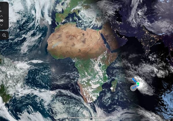
Explore satellite and aerial images of the Earth.
Have an interesting online resource? Let's share it with the world!
Curated collection of the best online resources and tools for OSINT professionals.