Post Comment
Δ
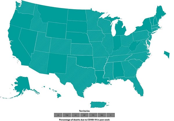
CDC U.S.-specific COVID-19 data tracker.
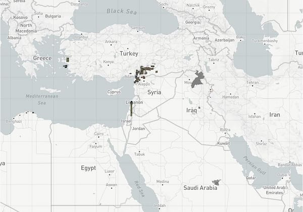
Aerial and satellite imagery repository.
Navigation and route planning app.
Have an interesting online resource? Let's share it with the world!
Curated collection of the best online resources and tools for OSINT professionals.

Leave a Reply