Post Comment
Δ
Open source global network of satellite ground-stations.
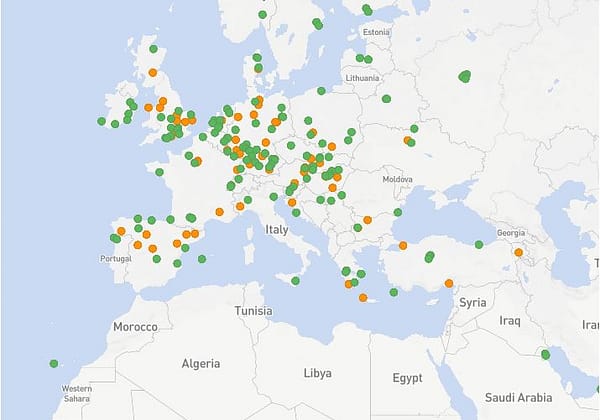
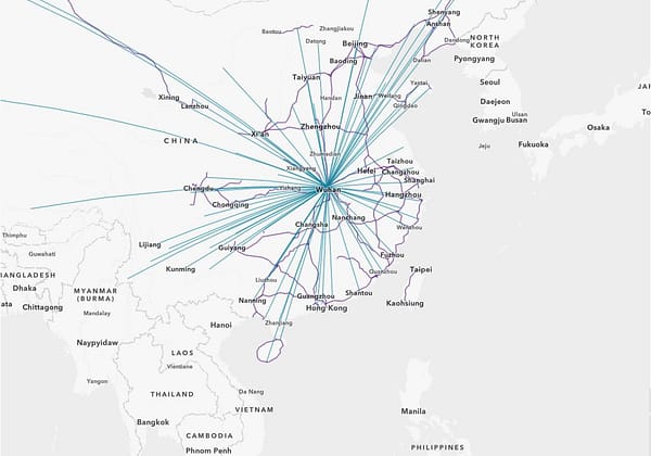
Mapping the spread of COVID-19 by Esri's StoryMaps team.
Search, preview, download satellite, aerial data.
Have an interesting online resource? Let's share it with the world!
Curated collection of the best online resources and tools for OSINT professionals.
Leave a Reply