
Real-time global hunger tracking system.
Satellite view.

Maps, graphs, countries info, images.

IQ levels compared by country.
Worldwide OSINT tools map
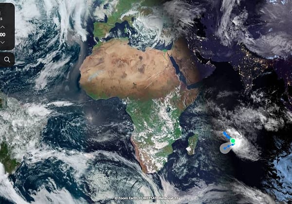
Explore satellite and aerial images of the Earth.
Have an interesting online resource? Let's share it with the world!
Curated collection of the best online resources and tools for OSINT professionals.