
Displays worldwide electricity grids, power plants, oil/gas…
Aerial and satellite imagery repository.
Detailed online map of the world’s railway…
Free nautical chart.
Names of all mountains and peaks with a 360° panorama…

Ports database.
Open source global network of satellite ground-stations.
Skylens developed by Zyphr Tech OÜ is an app providing a…
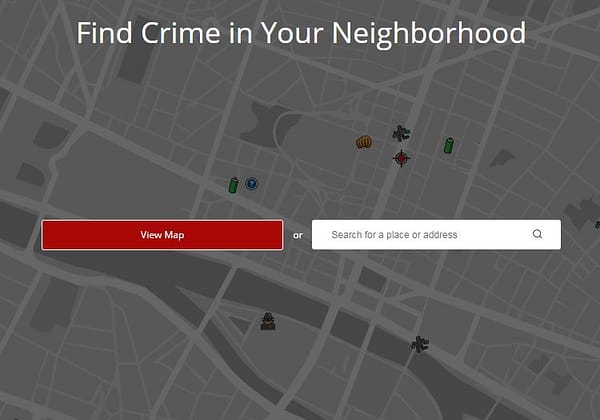
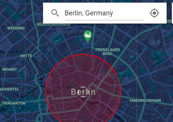
Find crime in your neighborhood (USA).
Find crime in your neighbourhood.
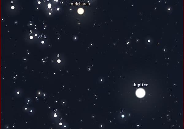
Online planetarium running in your web browser based on the…
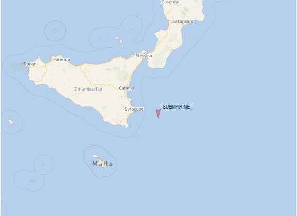
Submarines tracker.
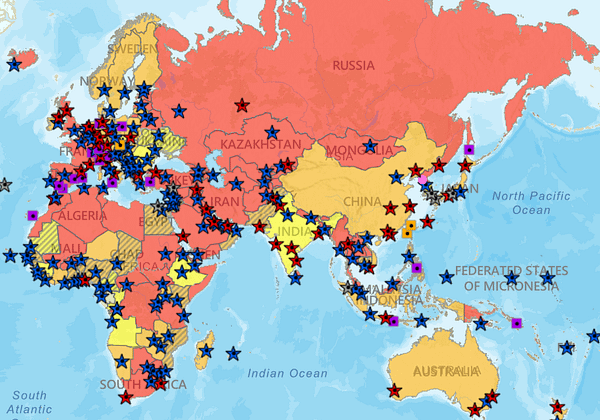
Latest updates about coronavirus outbreak.
World map of the most common last name in every country.
Easily navigate cities by bus, train, foot, and bike.
Map of US Embassies & Consulates, travel advisory levels.
Aerial movies from around the world.
Movement visualization of transit data.
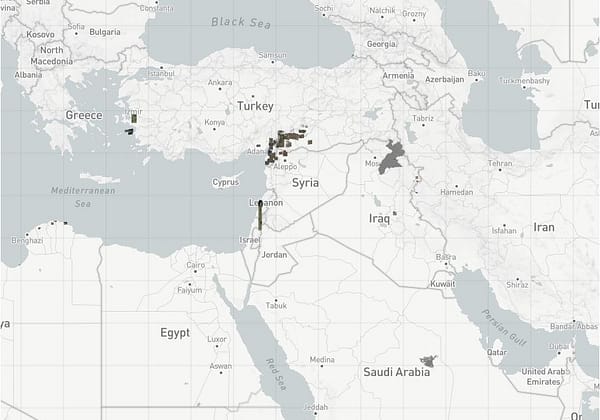
Map of currently known U.S. bases in the Middle East.
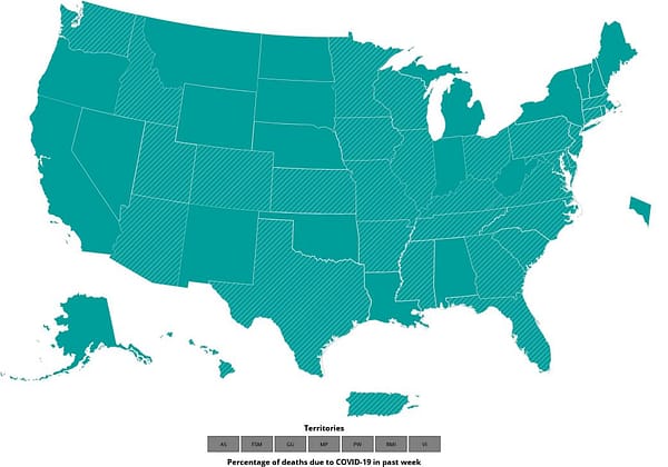
CDC U.S.-specific COVID-19 data tracker.
uMap lets you create maps with OpenStreetMap layers in a…
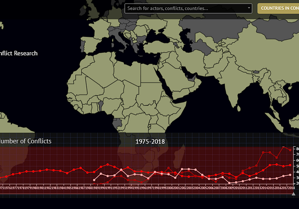
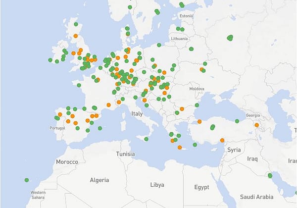
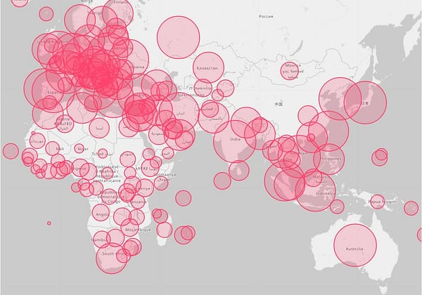
Data on organized violence and civil wars.
Map of all energy infrastructure and resources in the USA.
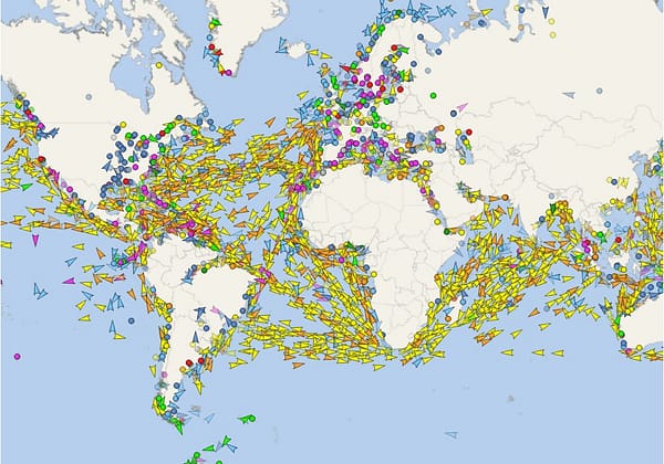
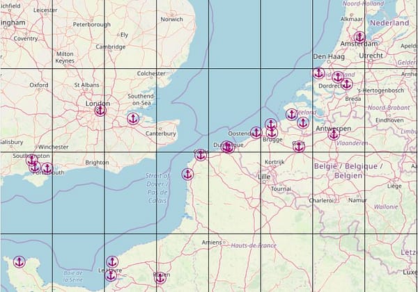
Real-time data on the position of vessels.

Vessels database.
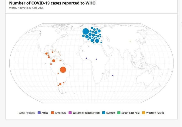
World Health Organization (WHO) COVID-19 Dashboard.
Multilingual open-content collaborative map.
Have an interesting online resource? Let's share it with the world!
Curated collection of the best online resources and tools for OSINT professionals.