- Maps
- 85
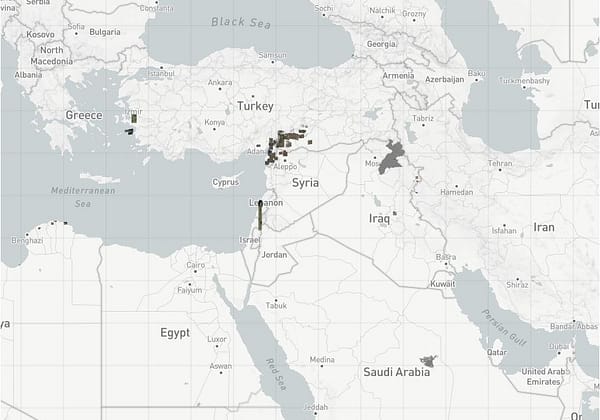
Earth Explorer
EarthExplorer lets users search, preview, and download geospatial data from sources like Landsat, Sentinel, MODIS, aerial photos, and elevation models.
EarthExplorer lets users search, preview, and download geospatial data from sources like Landsat, Sentinel, MODIS, aerial photos, and elevation models.
Have an interesting online resource? Let's share it with the world!
Curated collection of the best online resources and tools for OSINT professionals.

Leave a Reply